We were up early at 6:00 AM, finished packing our bags and went down to breakfast. After breakfast, we loaded up the truck and headed up at 7:10 AM to the Imlil in the Atlas mountains, the jumping off place to hike up to Mount Toubkal, the highest peak in the Atlas mountains.
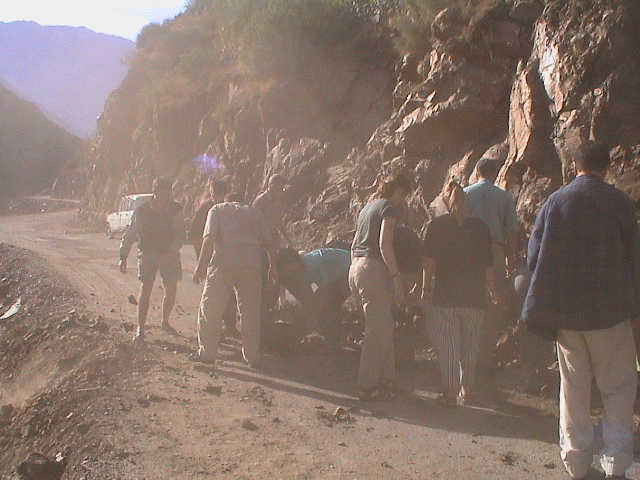
On our way to Imlil, we have to drive up a narrow road that winds along a cliff face and the river bed on the other side. At times it is just wide enough for the truck to get by. At one point in time, we all have to get off and clear a rock slide from the road in order to allow the the truck by. We arrive at Imlil at 9:15 AM and get ready for our hike.
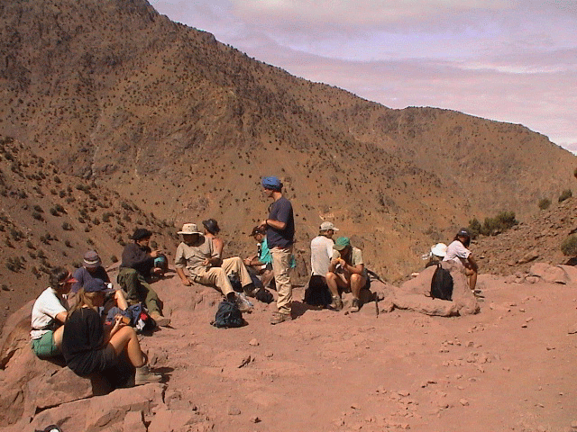
At 12:25 PM, we stop by a stream for lunch at about 2,500 meters. The guides prepare a local meal, with hot mint tea. At this point, the clouds begin to roll in and the temperature begins to drop. We begin to put on a few more clothes. At 1:30 PM, as a few rain drops begin to fall, we continue our hike up the trail to the refuge. The rain starts to fall harder and the wind picks up. By 2:45 PM, it is raining very hard, we are in the clouds and the wind is very strong. We are told that it is snowing at the summit. After we hear a rock slide in the distance, Mark (the group leader), makes the wise decision to abort the climb, turn around and head down to the Berber village where we will stay the night. We had gotten to about 2,750 meters.
When we turn around, we are now facing into the wind and the rain is blowing into our face. The other half of us (the front side) now gets very wet. We get down to the Aroun, a berber village (at 2,000 meters) at 4:45 PM. We walk up through the village through the narrow alleyways, which have turned into streams with the rain water gushing down them. We come almost to the top and take over a house. We take off all our wet gear, only to find out that all our stuff on the mules had also gotten wet (including our sleeping gear, etc). We hang our clothes all over the hut form every possible hook, cranny and painting. We get a fire going and people are sitting around the fire trying to dry out their clothes. We are lucky - we have a dry set in our bags that we had stored in plastic bags.
After some hot mint tea, we are served a huge dinner of local food - lamb tajine. It is hot and wonderful. After dinner, we try to dry out our clothes (and boots) a bit more and head off to bed at 9:30 PM. Our sleeping bags and liners have gotten quite dry so we have a nice warm sleep. It has been a long day.